
Research & Innovation Center
Cloud Horizons
Research & Studies Center
A pioneering center specializing in Geographic Information Systems, Remote Sensing, Environmental Analysis, and AI-driven solutions for sustainable development and urban planning across the region.
0
Projects Completed
0
Research Papers
0
Trainees & Partners
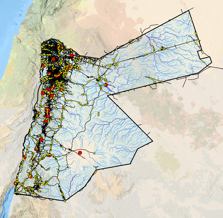
Remote Sensing
GIS Mapping
AI Solutions
Our Core Services
Comprehensive geospatial and research solutions powered by cutting-edge technology
GIS Services
خدمات نظم المعلومات الجغرافية
Advanced Geographic Information Systems solutions for spatial analysis, mapping, and data-driven decision making.
Learn more →
Remote Sensing
الاستشعار عن بعد
Satellite imagery analysis and aerial data processing for environmental monitoring and land use assessment.
Learn more →
Environmental Analysis
التحليل البيئي
Comprehensive environmental data analysis, impact assessments, and sustainability studies for informed policy making.
Learn more →
Urban Planning Studies
دراسات التخطيط الحضري
Research-driven urban development studies, smart city planning, and infrastructure optimization solutions.
AI-Based Solutions
حلول الذكاء الاصطناعي
Artificial intelligence and machine learning applications for geospatial data analysis and predictive modeling.
Training & Workshops
البرامج التدريبية وورش العمل
Professional development programs, technical workshops, and certification courses in GIS and remote sensing.

About Cloud Horizons
عن آفاق السحاب
Cloud Horizons Research & Studies Center is a specialized institution dedicated to advancing geospatial technologies and environmental research. Our team of experts combines scientific rigor with innovative approaches to deliver impactful solutions.
We bridge the gap between academic research and practical applications, helping organizations leverage GIS, remote sensing, and AI technologies for sustainable development.
We bridge the gap between academic research and practical applications, helping organizations leverage GIS, remote sensing, and AI technologies for sustainable development.
Expert Research Team
Innovative Solutions
Vision & Mission
Guided by purpose, driven by innovation
Our Vision
رؤيتنا
To be a leading regional center of excellence in geospatial research and environmental studies, empowering communities with data-driven insights and innovative solutions that contribute to sustainable development and informed decision-making across the Arab world.
Our Mission
رسالتنا
To advance the fields of GIS, remote sensing, and environmental sciences through high-quality research, professional training, and practical applications. We aim to foster knowledge, build capacity, and deliver solutions that address real-world challenges in urban planning, environmental management, and technological innovation.
Our Achievements
Numbers that reflect our commitment to excellence
0
Projects Completed
0
Research Papers
0
Training Programs
0
Trainees & Partners